Heritage Walk No.4 (for Kids)
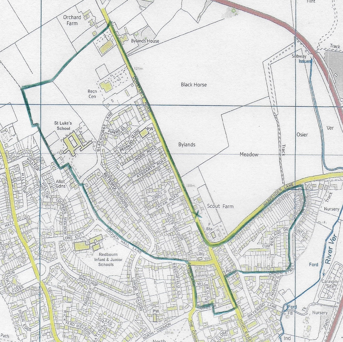
Start outside Scout Farm on Dunstable Road marked with a cross on the map.
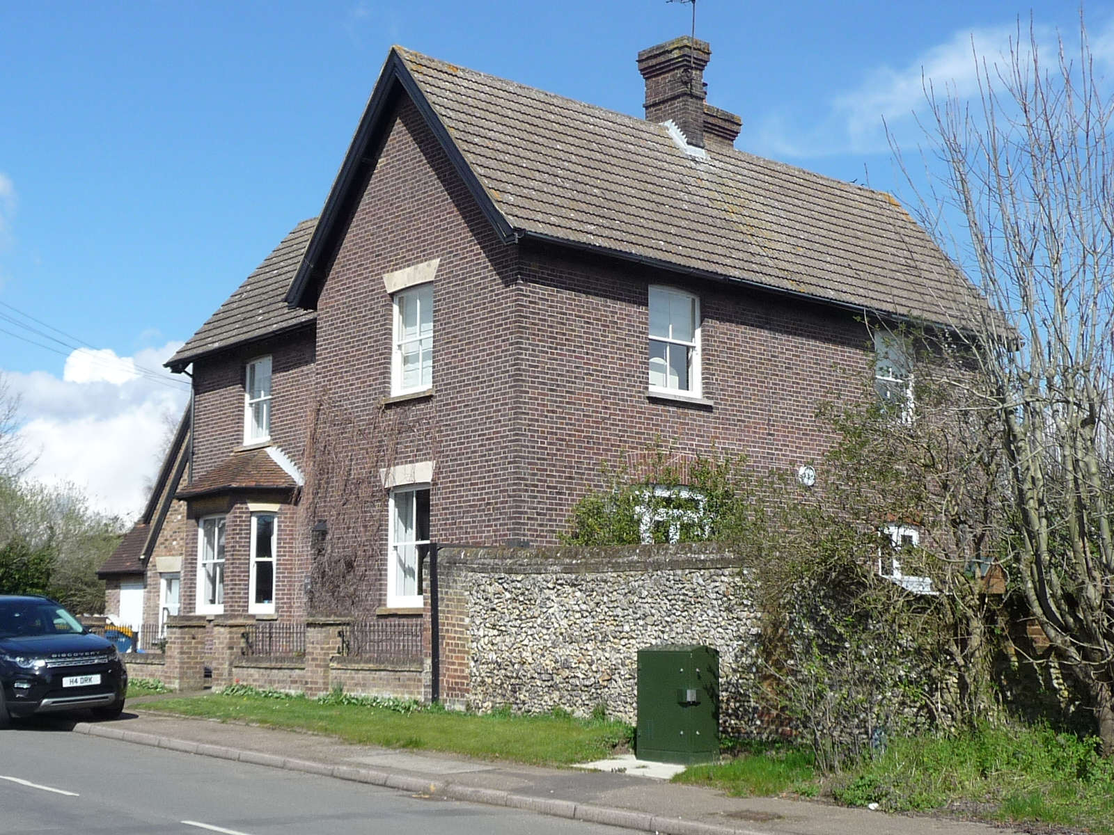
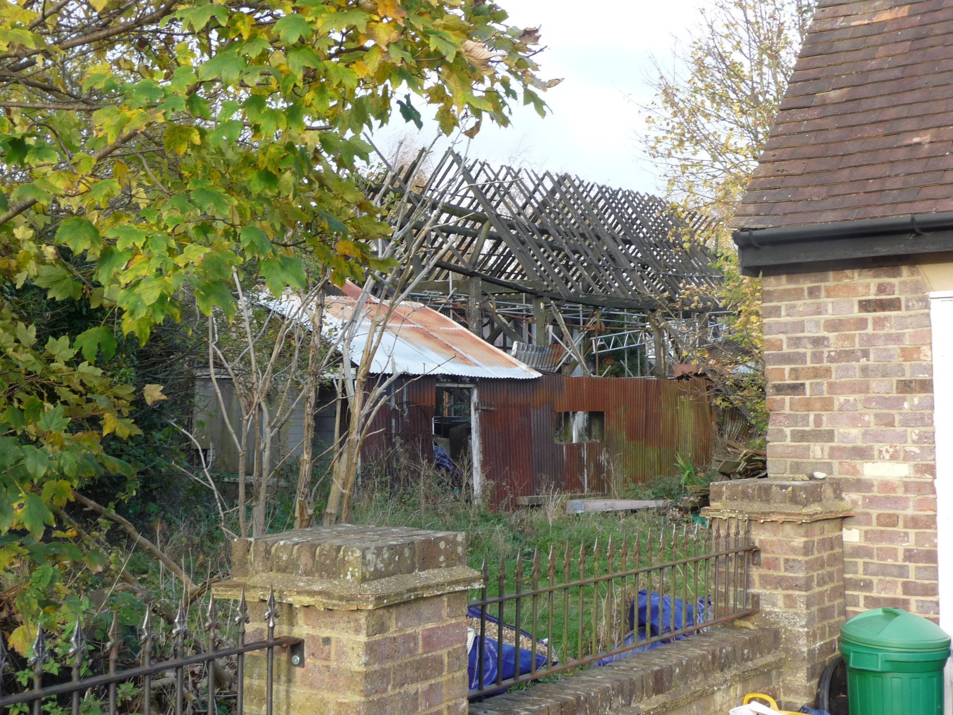
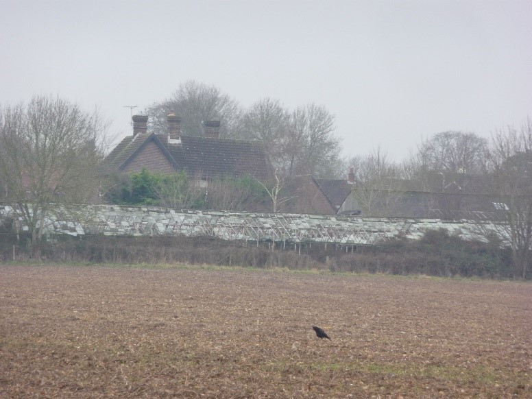
Photo no.2 was taken about a year ago (early 2019). All the barns have gone and only some of the glass houses remain. This shows just how quickly things can change!
What is going to be there instead?
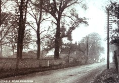
With Scout Farm to your right, start walking up Dunstable Road, originally constructed by the Romans. What clue tells us that it is originally a Roman road?
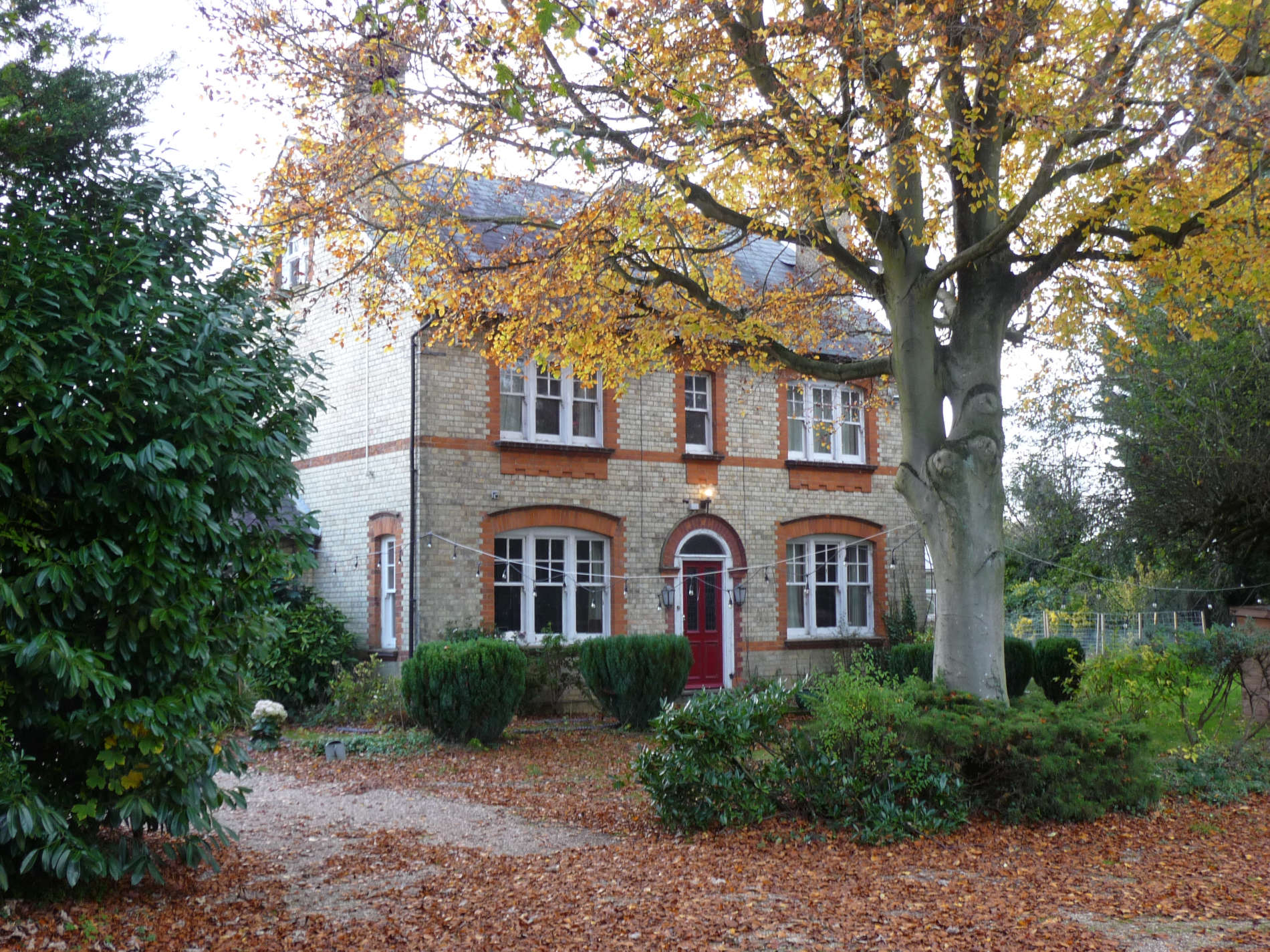
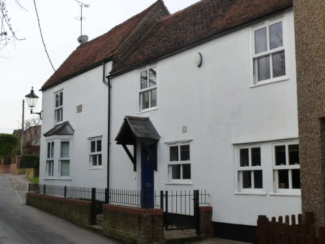
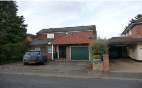
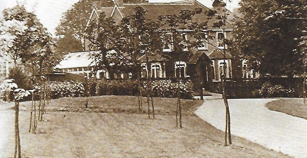
On the left you will see this house – Hillbury
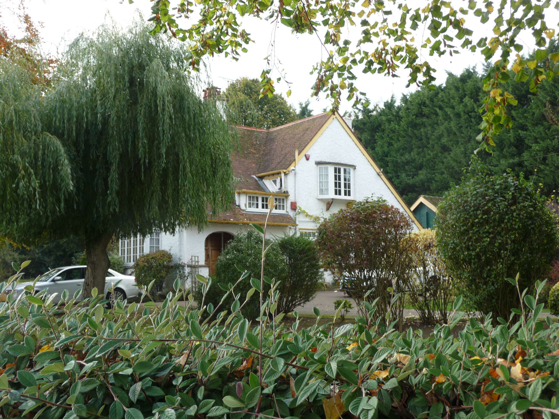
What is the name of the road to the left of this house? This gives you a clue to what stood here before the present house.
Did you work it out? Yes, a pub stood here and was built about 250 years ago. It was a big building with stables, a coal shed, pig sties, and a farm yard. All gone now!
Now look up the road.
Can you stand in the same place that this photo was taken from? The building next to the road is the old Bylands Farm. This was demolished and a garage and petrol filling station replaced it.
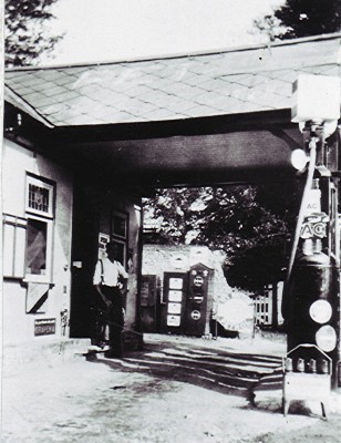
The filling station went out of business in the 1970’s. Can you guess why?
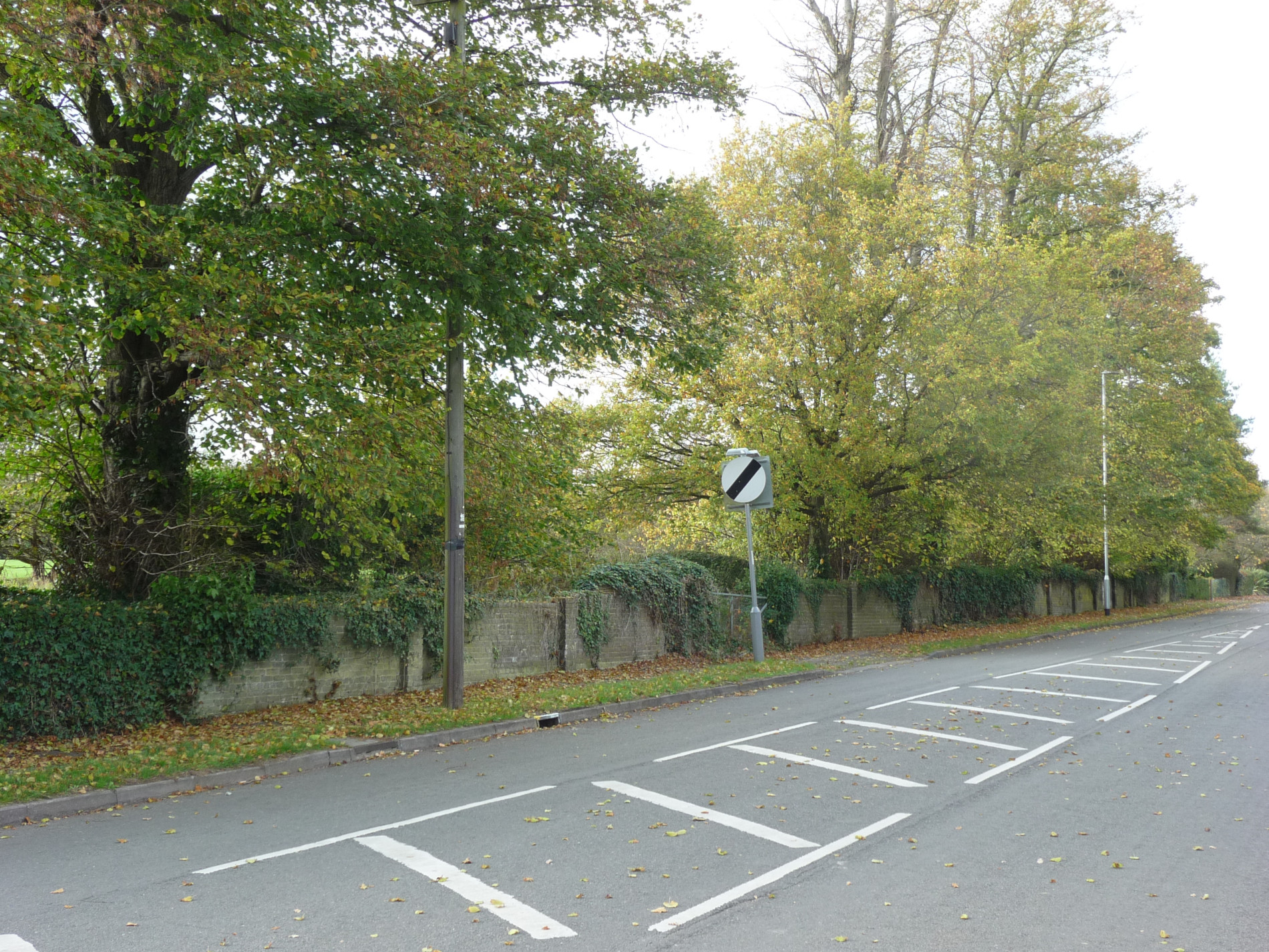
The site is now an office building.
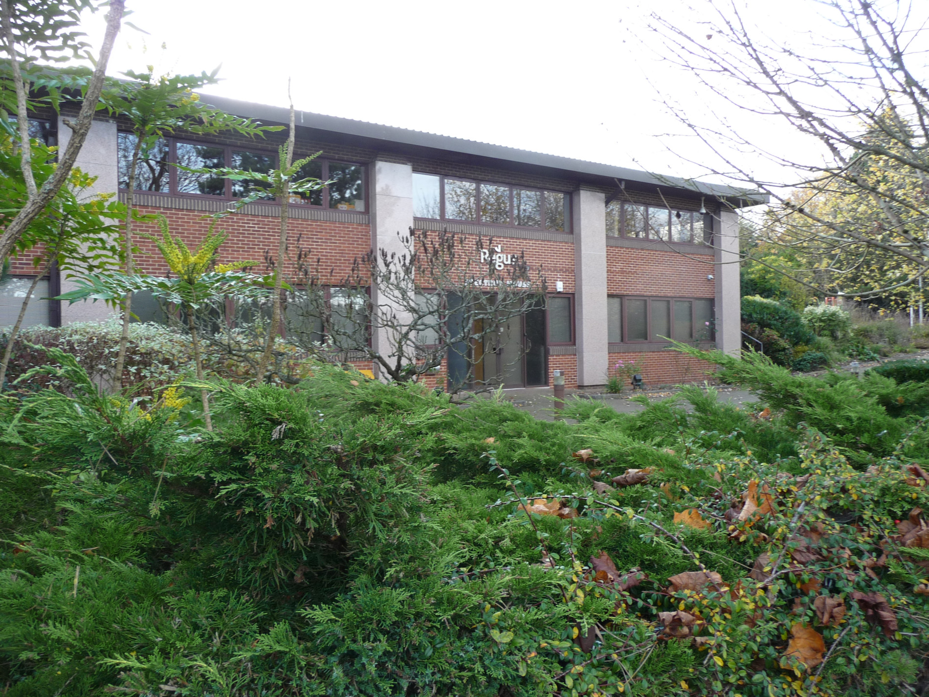
On the same side of the road as the offices you will see a footpath that runs alongside this house.
Stay on the path and you will reach the playing fields of the recreation centre and St Luke’s School. At this point, you might want to look at the map above. Keep walking in the same direction until you meet a main footpath from where you can see the M1 motorway. At this point, turn left until you reach a very narrow path running alongside the school. There is a sharp dog-leg in the path but eventually you will come out at a cul-de-sac with St Luke’s School on your left.
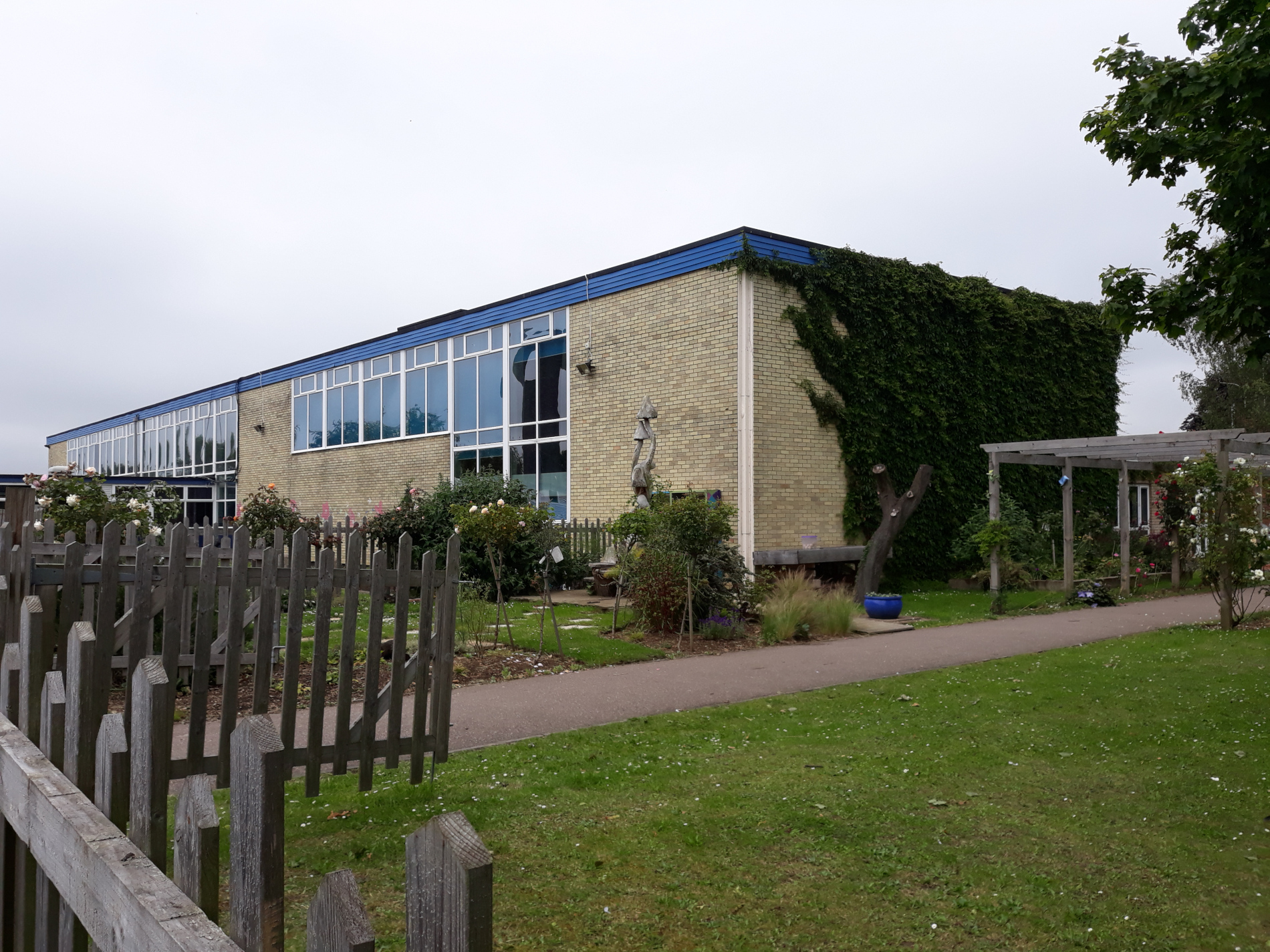
Many people now living in Redbourn went to this school after going to junior school. It opened in 1963 and closed as a secondary school in 1981.
- Do you know anyone who went to the secondary school?
- What type of school is it now?
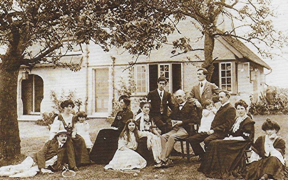
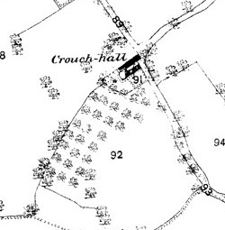
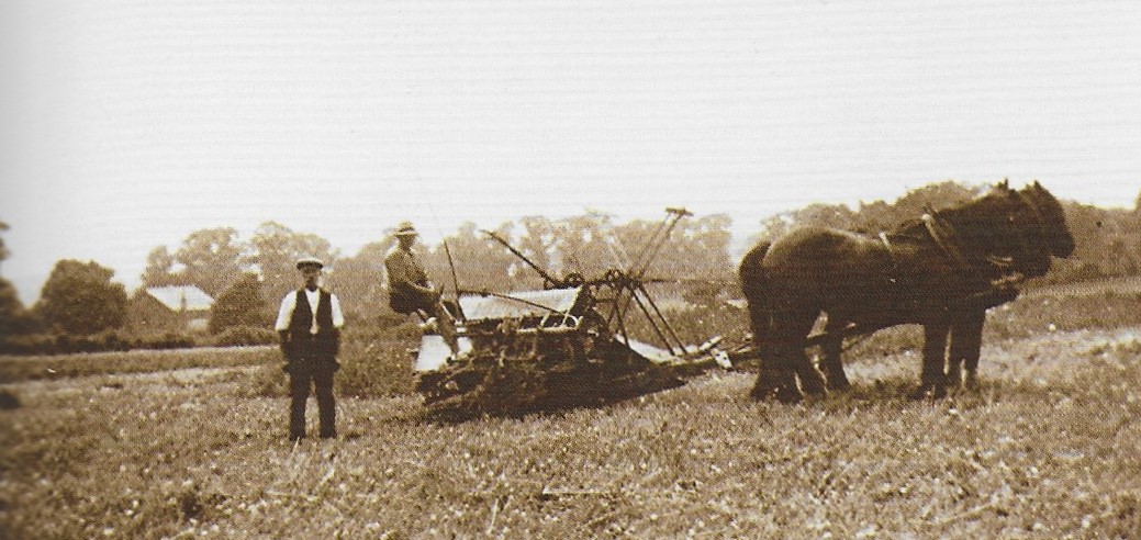
Walk on a little further and to your right is Crouch Hall Farm.
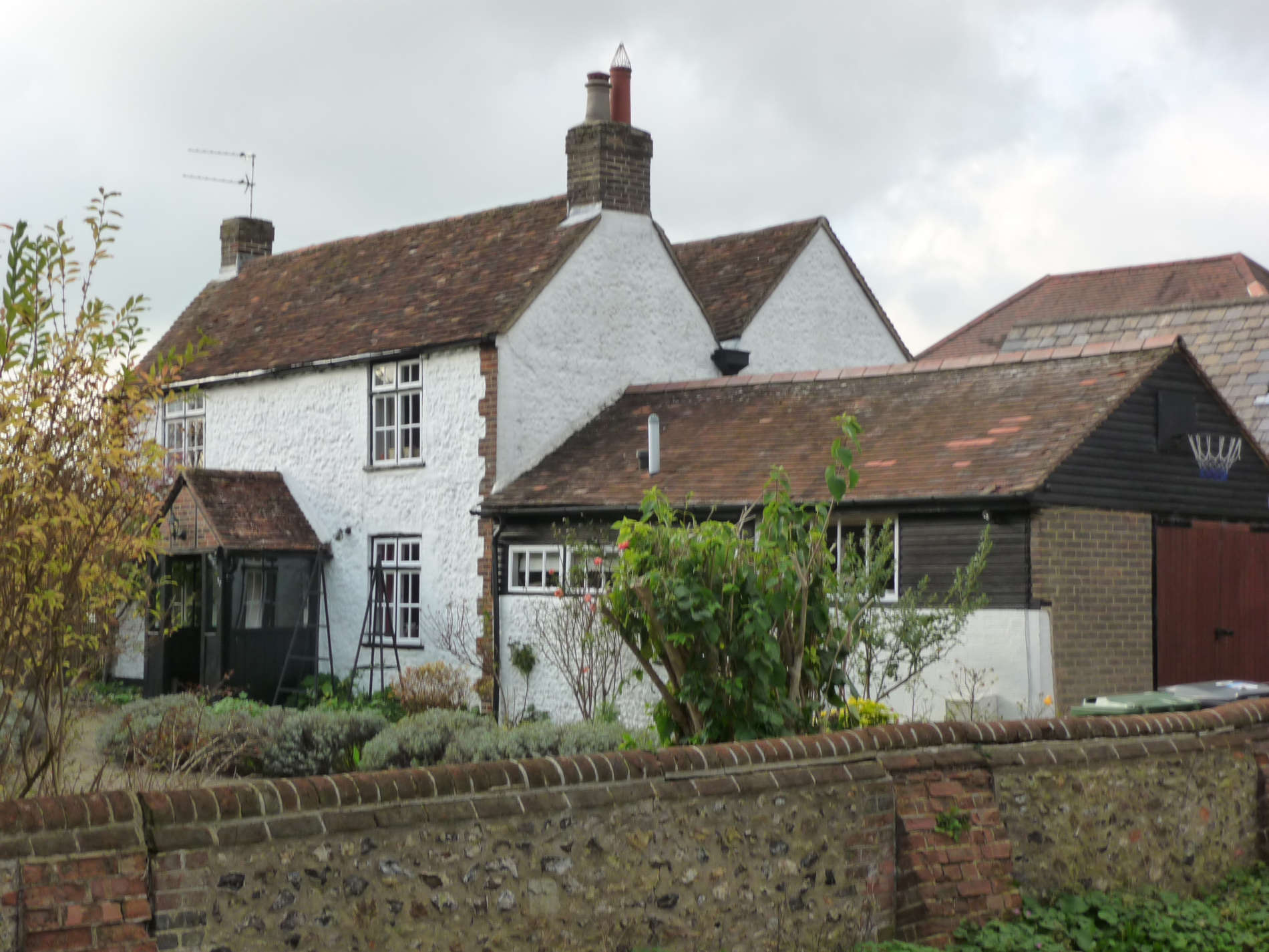
This is an old farm house – over 400 years old. It has barn and possibly a piggery. All around the house and farmyard there were fields.
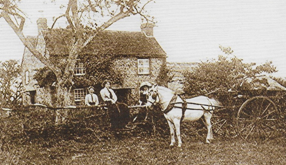
- Can you work out where the 1914 photo was taken from?
- What is the name of the road you are walking down? Named this because it only went to the farm. There was nothing else there.
Cross over the road from the farm and keep walking down Crouch Hall Lane. On the right you will see Redbourn Infant and Junior School
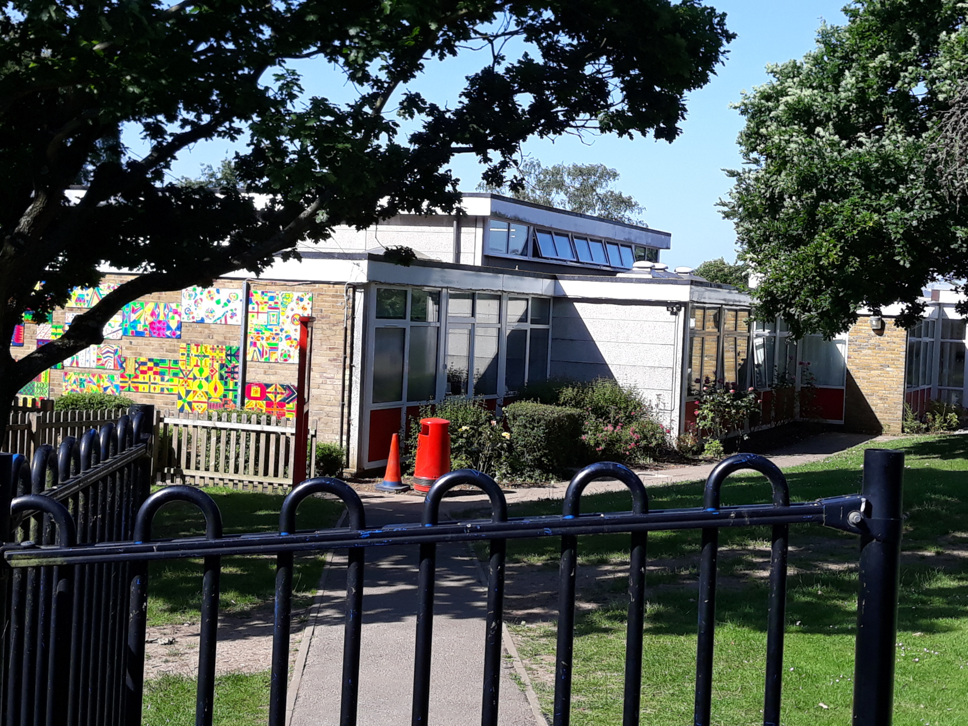
Over 50 years ago, you would have gone to the school on the Common but in 1966, this new school was built. The field it was built on was called Cooper’s Meadow. Look at the next photo.
It’s the school playing field! No houses! Just a chapel in the distance.
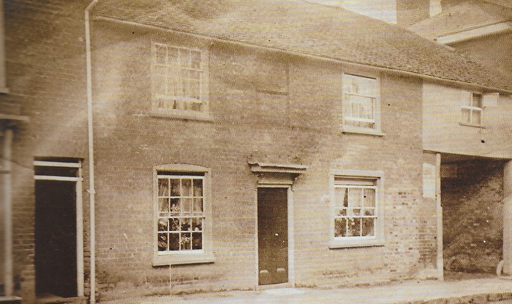
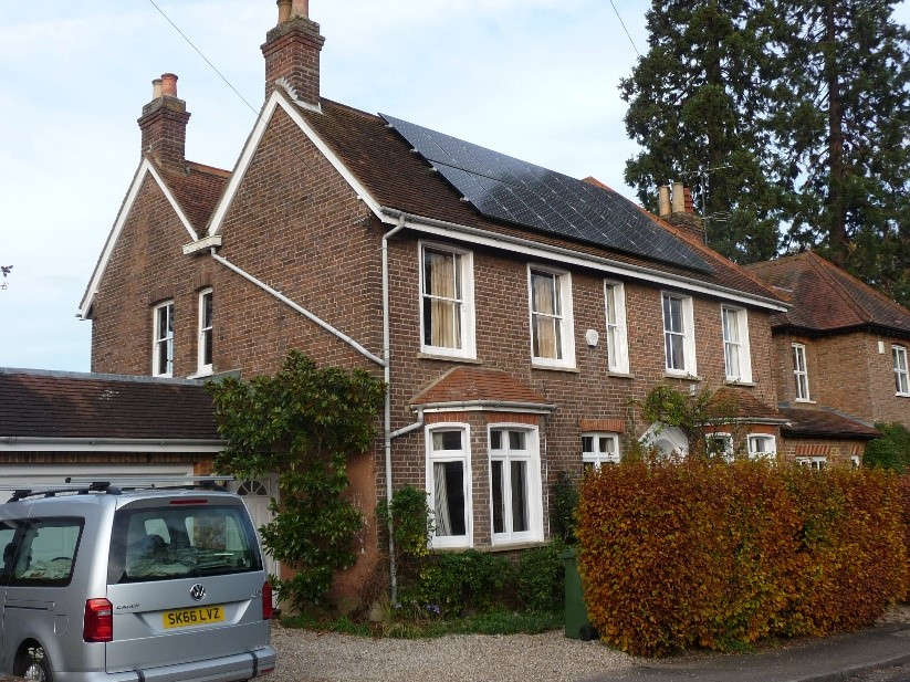
Continue your walk until the road narrows and the pavement disappears. No.8 Crouch Hall Lane is on the left.
Some people in Redbourn remember this as the doctors’ surgery (before the Health Centre was built). Before that, it was the home of the Holt family.
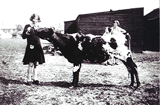
The footpath to the right of the building once led to Holt’s meadow. What was kept in the meadow? See photo no.3.
During the Second World War (1939-1945), the meadow was used to provide temporary homes for people from London. Why do you think they needed them?
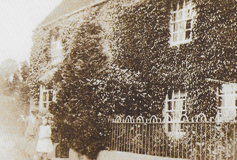
Beside the footpath is a wooden building in spot once known as Sunshine Corner
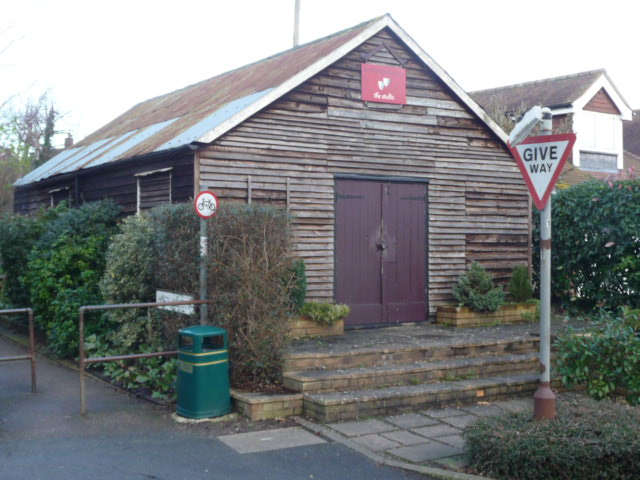
Have you ever been to the Redbourn Players’ pantomime in the Village Hall? This is where they rehearse. The wooden structure was built over 60 years ago and used as a church. It replaced a very old house (the oldest in the village) that was pulled down.
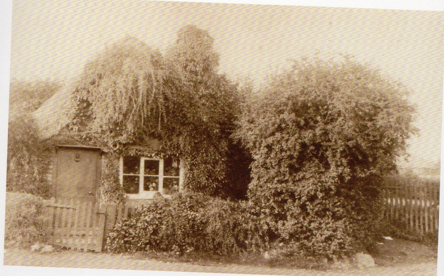
If you look at photo no.2 you can see how overgrown the house was. Perhaps it would have fallen down anyway.
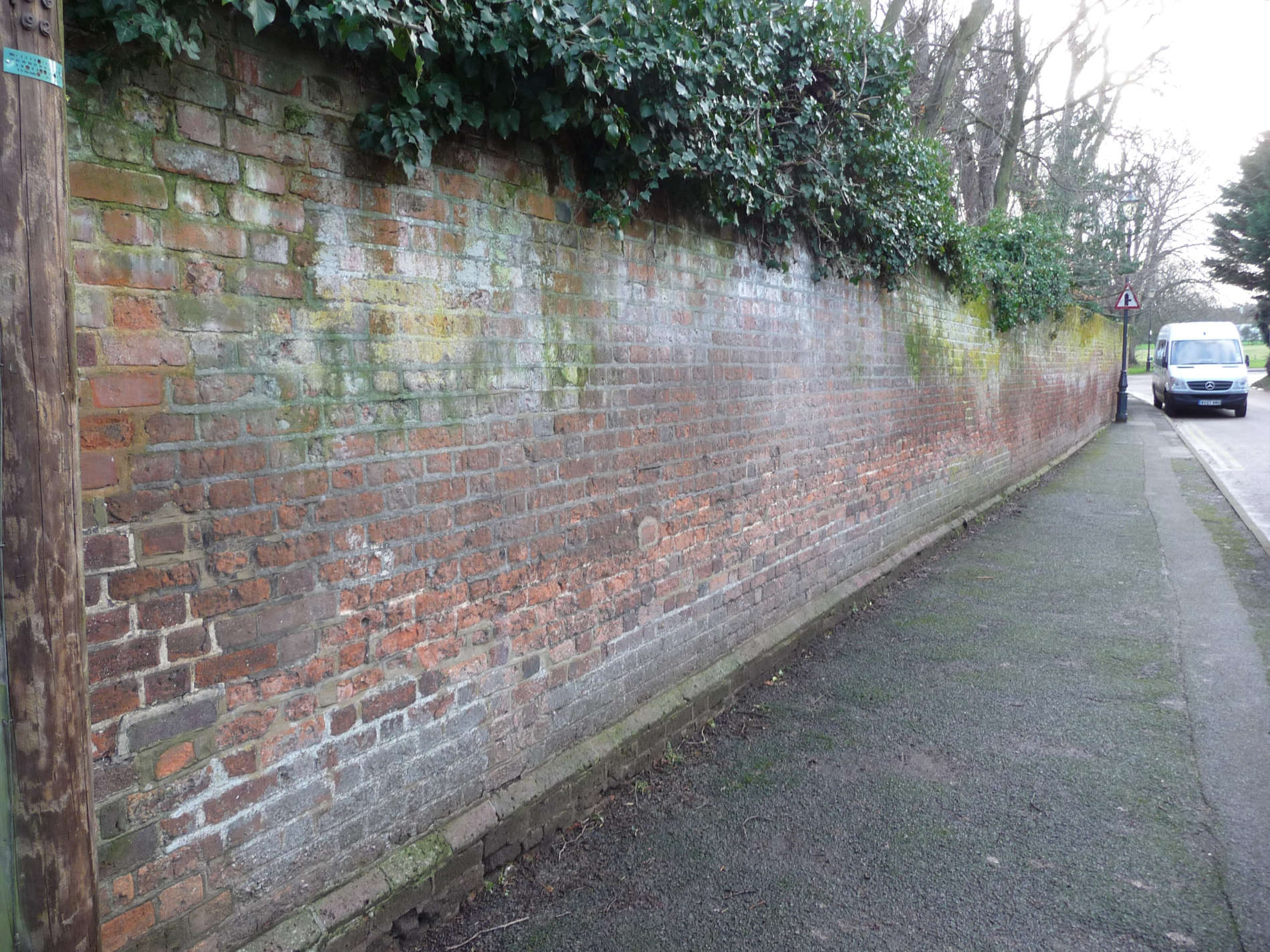
Cross the road and walk along Lamb Lane with the open space on your left. What do you make of these bricks?
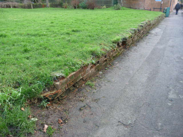
It’s not a wall. The next picture will explain.
Houses! Lots of them – a whole row. This is why the grass is not flat. It lies on top of rubble from the demolition of the houses. Why do you think they were pulled down?
One house is still there. Can you find it? Clue:Ding Dong.
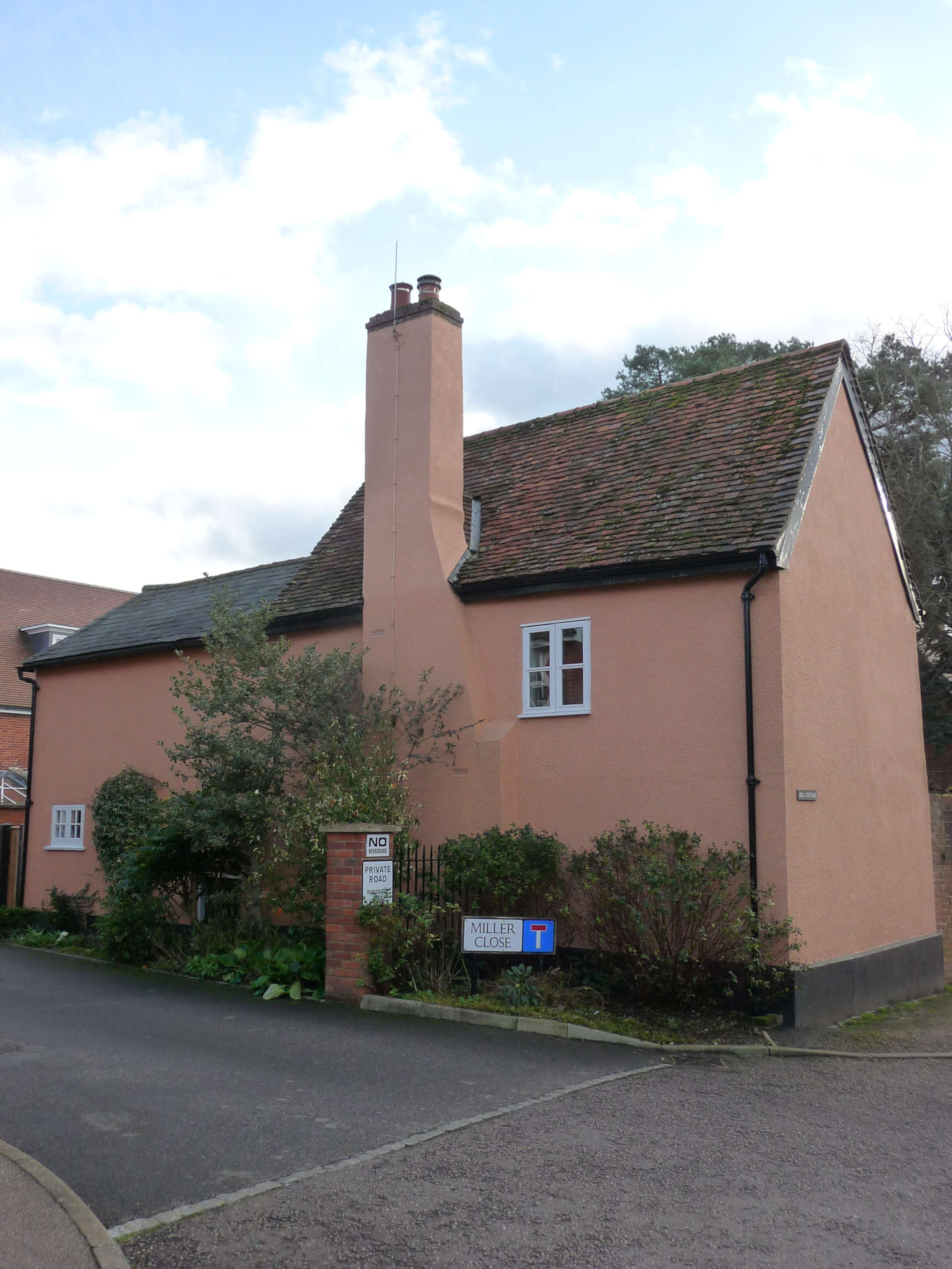
- What do you think this building was once? It is over 350 years old.
- There is something different about the way it is situated next to the road. Can you spot it?
- Can you explain why?
Carry on walking along Lamb Lane in the direction of the Common. On your left is a very old wall. It ran around the garden of Cumberland Lodge.
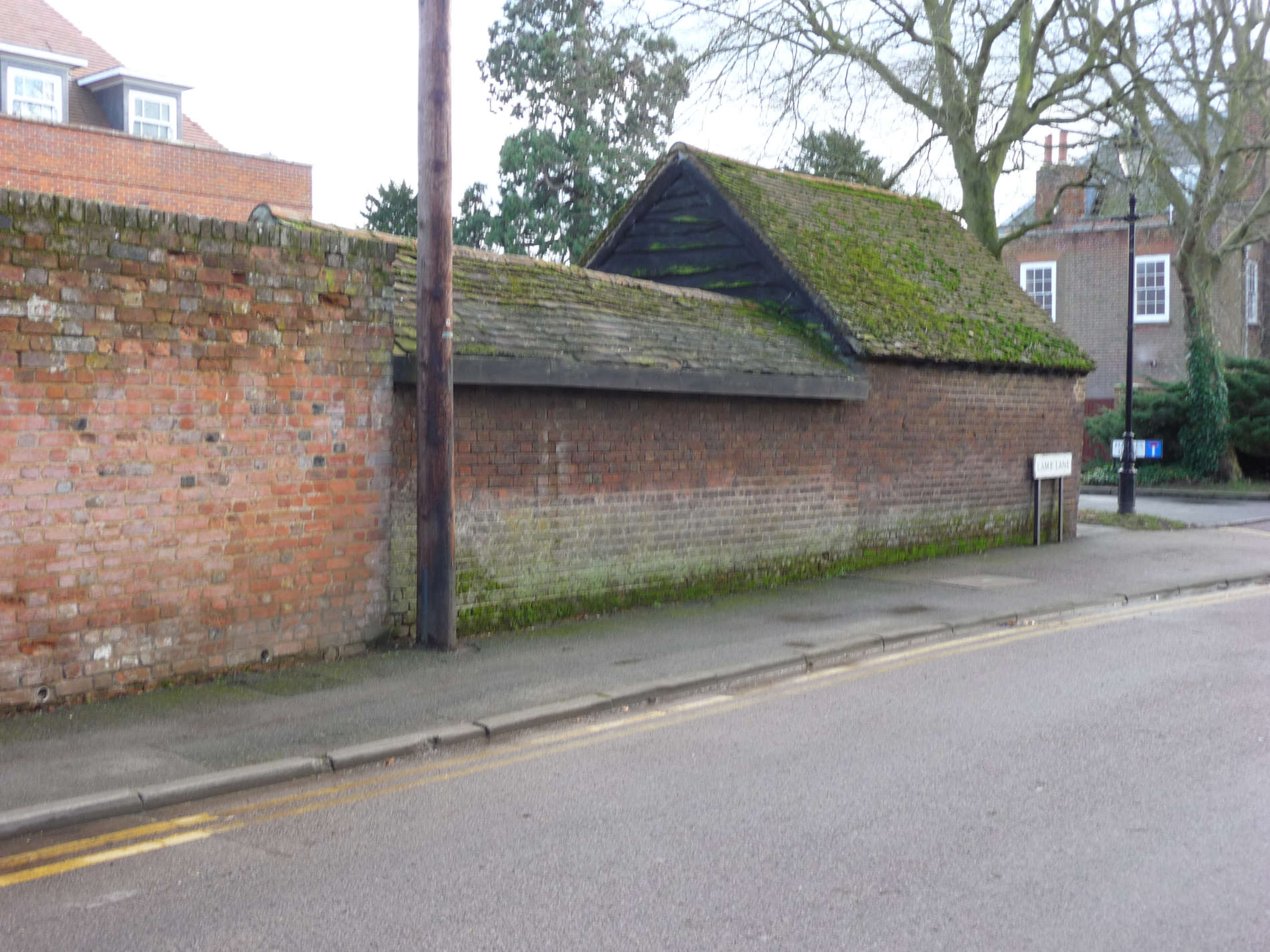
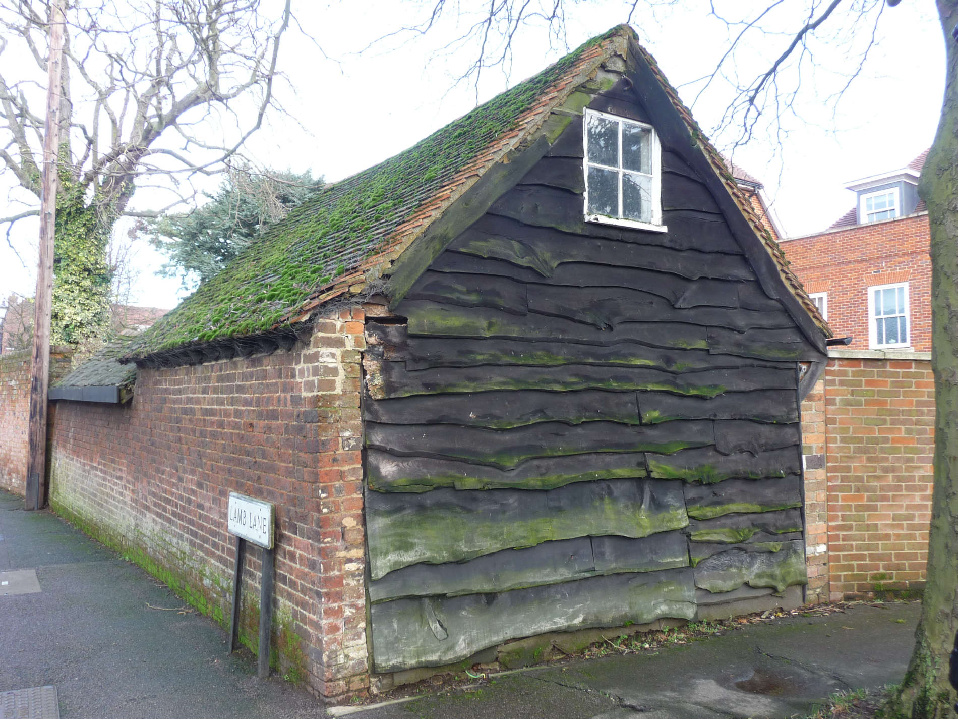
What do you think the hut was used for? Here’s a clue. The wall surrounded the kitchen garden. Now look at photo no.4.
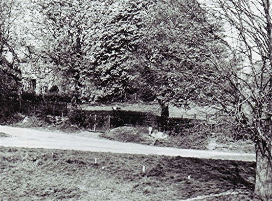
- Can you imagine Lamb Lane looking like this?
- How long ago do you think it was?
Now turn left into Hawkes Drive and walk towards the Health Centre and turn right into the gardens. Keep to the main path and you will come out on the High Street. You have been walking through what was the back garden of Cumberland House. The front of the house overlooks the Common.
Now carefully cross the High Street and turn left. Walk a little way until you reach No. 71, the Enchanted Tea Rooms
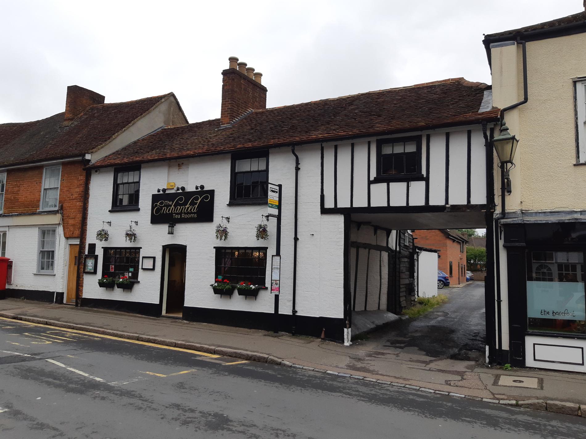
I love the teacakes served here! It has also been a private house, a restaurant and a pub (The Crown). Look at the beams in the archway.
- How old do you think they are?
- Why do you think there is such a large entrance to the space at the back of the building?
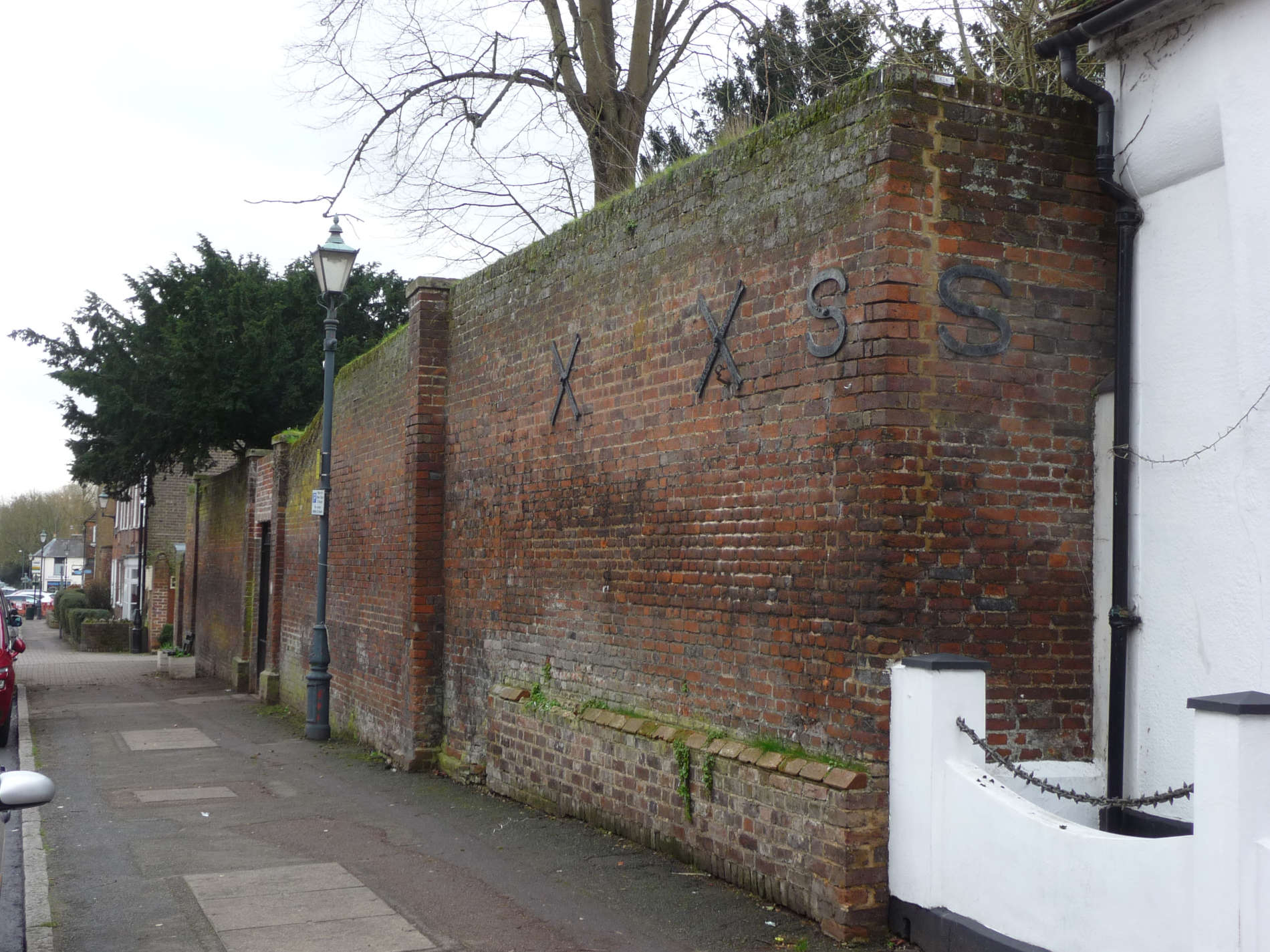
Now go through the arch and when you reach the road turn right and quickly turn left along Crown Street. Look for this building.
- What is the name of this house?
- Do you know why it is called this?
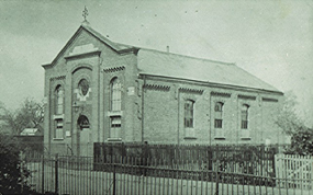
It stands on the site of “The Tabernacle” church. This amazing building was buillt in 1869. It was pulled down in the 1950’s and the new house was built.
As you walk down Crown Street, you will see a number of cottages on the left.
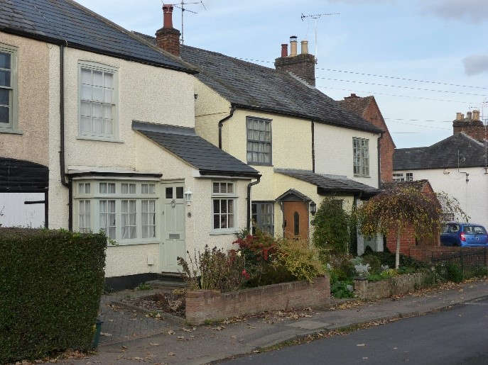
These were built over 150 years ago and looked out on to open farm land.
Keep going and look for this building.
100 years ago, the man who owned Cumberland Cottage sold off all his land so all the houses you see today could be built.
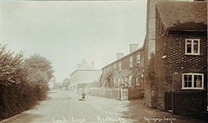
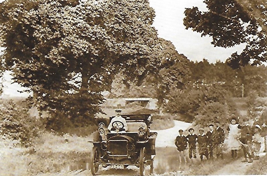
Walk to the end of Crown Street and into Ver Road. At the end where you meet Harpenden Lane, turn right. Look down the road. Just over 100 years ago you might have seen these views.
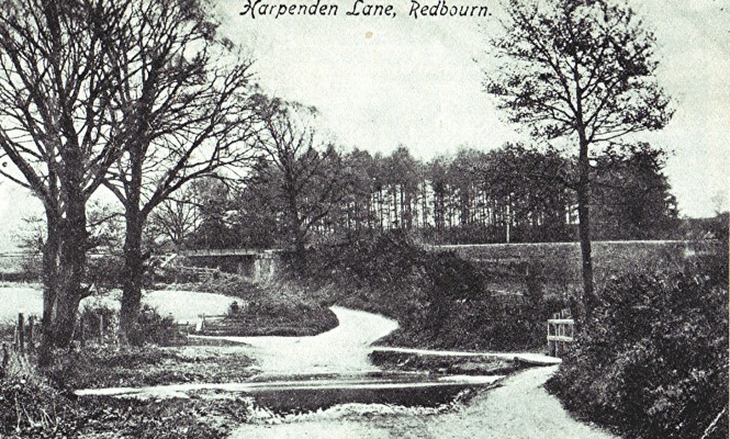
There a ford across the river.
- What is the name of the river?
- Where is the river now?
- Can you see the railway bridge in the background? This is now The Nickey Line footpath.
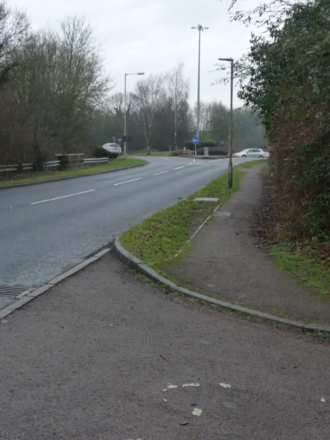
The same view today is shown below
Now turn around and head on back towards the Fire Station/Library. Look out for this sign on the right.
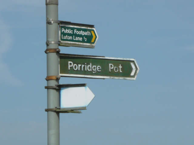
The sign points to a lane that led to the houses shown in the next photo.
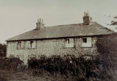
They were built in the early 1800’s but have now gone.
Do you have any suggestions as to why it is called Porridge Pot? I haven’t a clue!
Walk on and look out for this house.
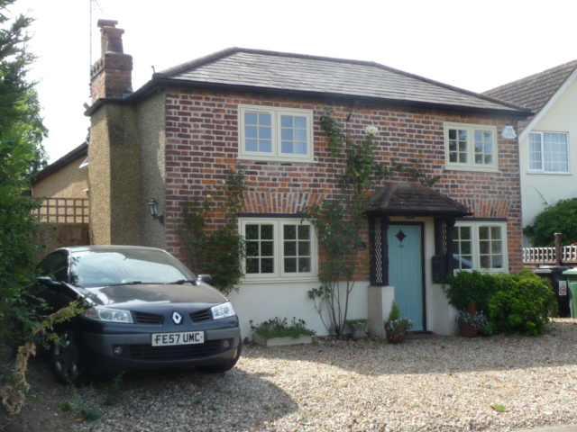
This is the oldest house in Harpenden Lane. Its ceilings are very low!
You have finished your walk when you reach the Fire Station/Library. Well done!